Cultural
Arc géodésique de Struve
Finlande
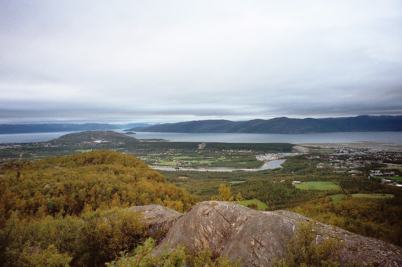
Photo : Vesna Vujicic-Lugassy (CC BY-SA 3.0 igo)
This cultural heritage site consists of a chain of triangulation points that stretch across Finland and other Nordic and Eastern European countries. The arc was established in the 19th century as part of a major geodetic survey project designed to measure the precise shape and size of the Earth. The project, initiated by the Russian astronomer Friedrich Georg Wilhelm Struve, represents a significant scientific achievement of the period and demonstrates the international cooperation required for large-scale geographical measurement. The triangulation points are marked by various structures, ranging from simple stone cairns to more substantial stone or metal pillars, distributed across the Finnish landscape. This network of surveying stations has been recognized for its outstanding universal value as testimony to scientific endeavor during an important period in the history of geodesy. The site illustrates both the technical capabilities and the geographical ambitions of 19th-century scientific research.