Cultural
Arc géodésique de Struve
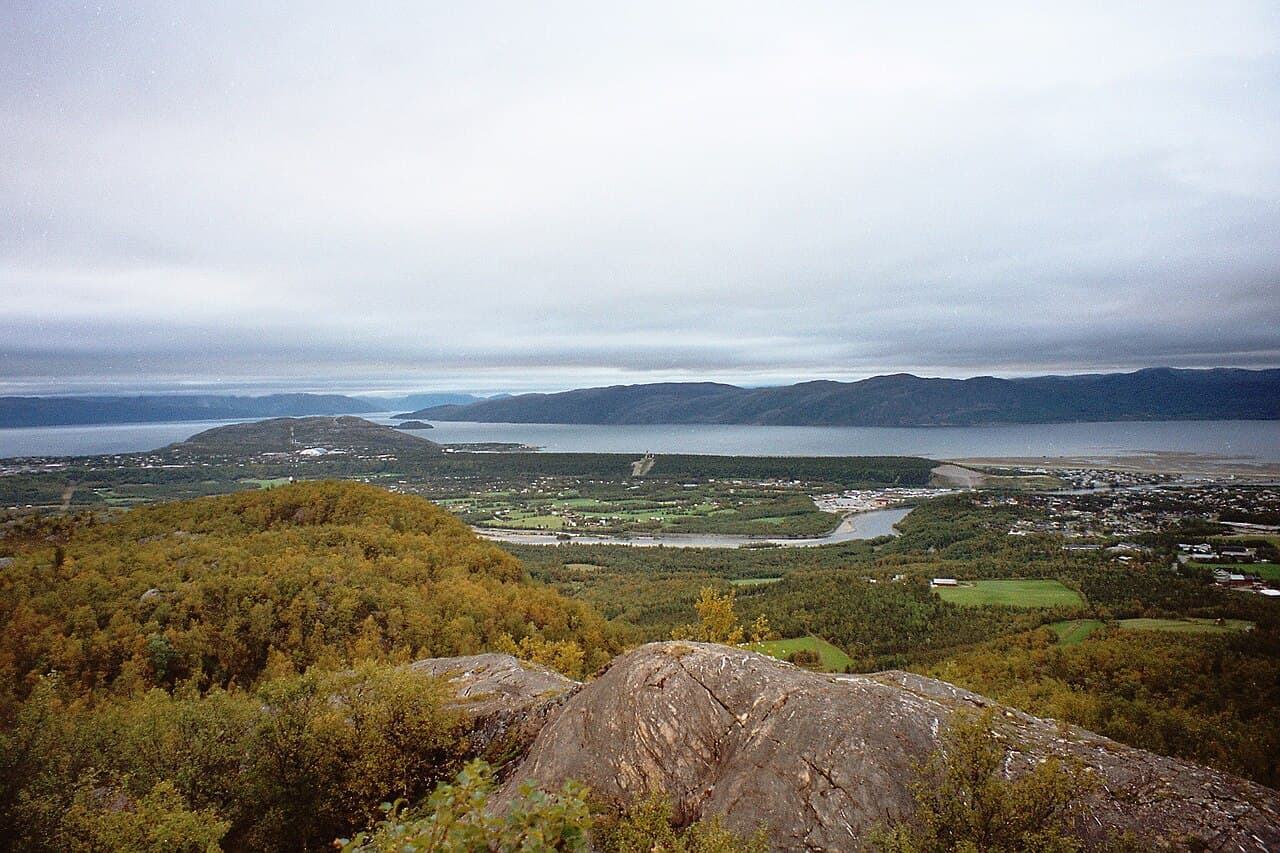
Photo : Vesna Vujicic-Lugassy (CC BY-SA 3.0 igo)
This heritage site comprises a chain of geodetic survey points established across northern Europe in the 19th century. The arc was created by Russian scientist Friedrich Georg Wilhelm Struve to measure the exact shape and size of the Earth through a series of triangulation measurements extending from the Arctic Ocean to the Black Sea. Sweden's portion of this triangulation chain includes observation points and associated structures that were essential to this pioneering scientific endeavour. The site documents an important period in the history of cartography and geodesy, when systematic measurement techniques were advancing geographical knowledge. The visible remains consist of stone cairns, pillars, and other markers positioned at calculated intervals across the Swedish landscape, representing the technological and organizational achievements of 19th-century scientific collaboration. The arc's inscription on the UNESCO World Heritage List recognizes its significance as testimony to the international scientific cooperation of the era and its contributions to understanding Earth's dimensions.