Cultural
Arc géodésique de Struve
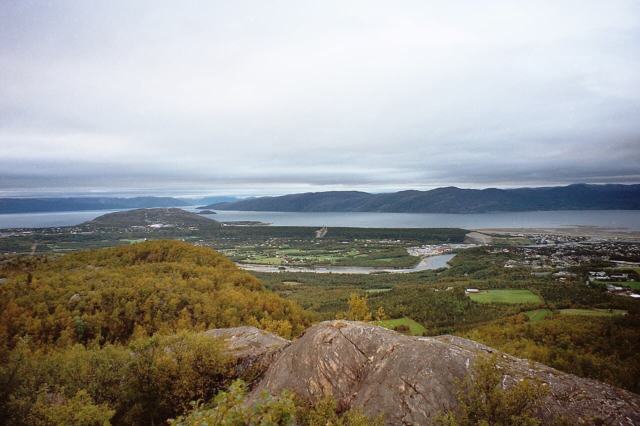
Photo : Vesna Vujicic-Lugassy (CC BY-SA 3.0 igo)
The Struve Geodetic Arc is a chain of survey triangulations that extends across Eastern Europe and Russia. This remarkable scientific undertaking, carried out in the 19th century, represents a pioneering achievement in the measurement of the Earth's shape and size through astronomical and geodetic methods. The arc consists of a series of connected triangulation points established across vast distances, serving as physical markers of this historic survey work. Located across multiple countries including Russia, the site documents an important period in the development of modern geodesy and cartography. The remaining monuments and markers of the arc, though distributed over considerable geographical spans, constitute tangible evidence of this significant scientific endeavor that contributed substantially to understanding our planet's physical properties.