Cultural
Arc géodésique de Struve
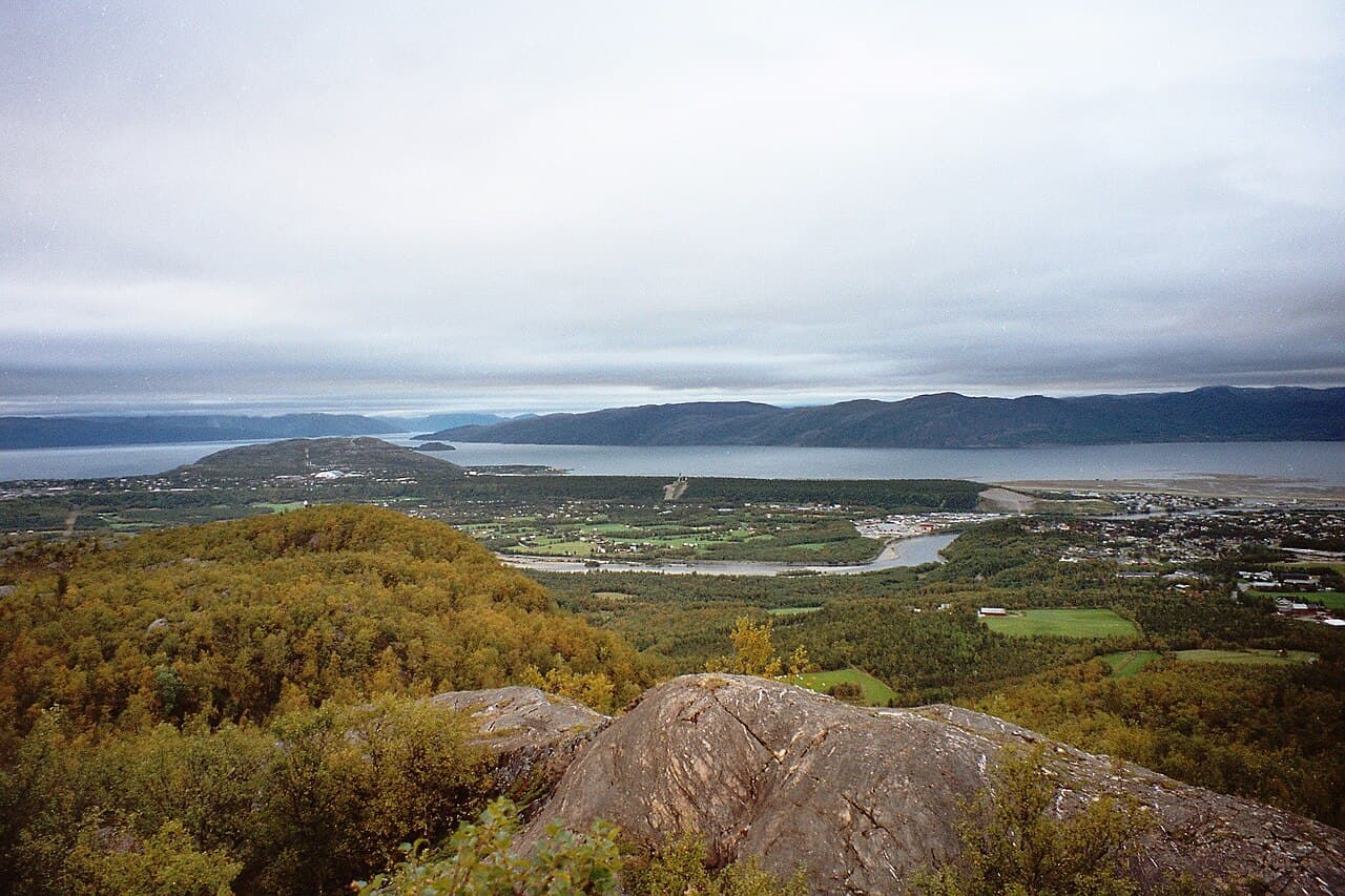
Photo : Vesna Vujicic-Lugassy (CC BY-SA 3.0 igo)
This cultural heritage site encompasses a geodetic arc that stretches across a vast territory in northern Europe, including portions within Norway. The arc represents a monumental scientific undertaking from the 19th century, consisting of a chain of triangulation points established to measure the shape and size of the Earth. The project involved multiple countries and required precise astronomical and mathematical observations conducted over several decades. The arc's inscription recognises its outstanding contribution to the history of science and geodesy, demonstrating the international cooperation and technical innovation characteristic of the period. The monuments marking the triangulation stations remain visible across the Norwegian landscape, serving as physical evidence of this significant scientific endeavour. These sites constitute an important testimony to the advancement of surveying techniques and geographical knowledge during the 19th century.