Cultural
Arc géodésique de Struve
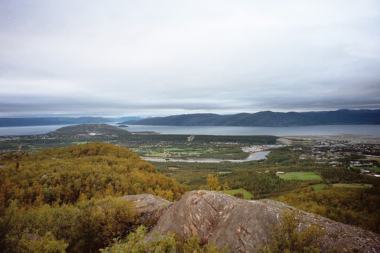
Photo : Vesna Vujicic-Lugassy (CC BY-SA 3.0 igo)
This cultural site in Latvia is part of the Struve Geodetic Arc, an extensive chain of meridian arc measurements that stretched across Eastern Europe during the 19th century. The arc was established by astronomer Friedrich Georg Wilhelm Struve to determine the precise shape and size of the Earth, representing a major scientific undertaking of its time. In Latvia, the site comprises a series of triangulation points and related structures that were used in these astronomical and geodetic observations. The arc's inscription as a UNESCO World Heritage site recognizes its outstanding universal value as a testimony to international scientific collaboration and the advancement of geographical knowledge during the early modern period. The Latvian segment of this arc demonstrates the technical and organizational complexity required to conduct large-scale scientific measurements across multiple nations and difficult terrain. These physical remains serve as historical evidence of 19th-century scientific methodology and the evolution of cartographic practices.