Cultural
Arc géodésique de Struve
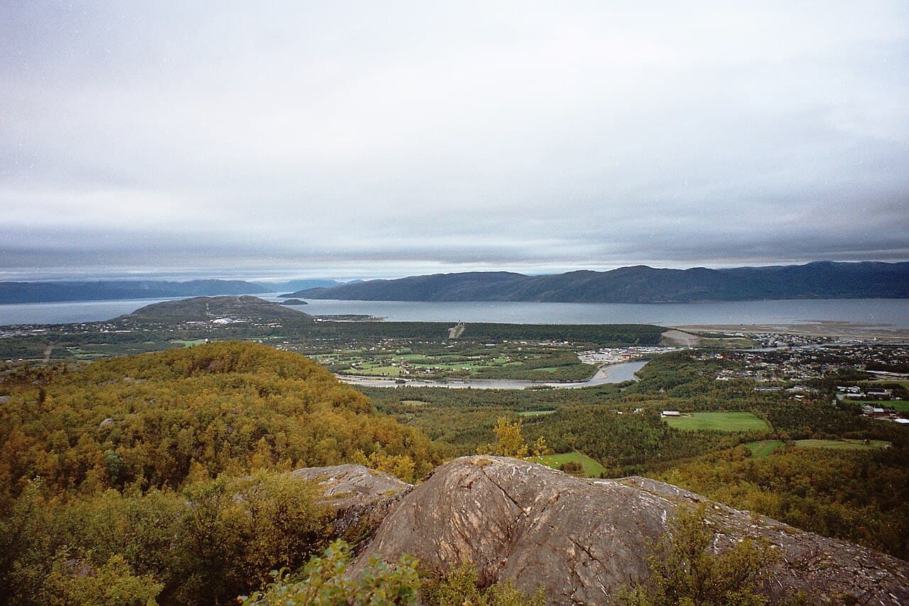
Photo : Vesna Vujicic-Lugassy (CC BY-SA 3.0 igo)
This cultural heritage site encompasses the remains of the Struve Geodetic Arc, a chain of survey triangulation points that stretched across Eastern Europe in the 19th century. The arc was established by the Russian-Finnish astronomer Friedrich Georg Wilhelm Struve to measure the precise shape and size of the Earth. In Lithuania, the site includes several of the original measurement stations and related monuments that were part of this ambitious scientific undertaking. The Struve Arc represents a significant achievement in the history of geodesy and astronomy, demonstrating the international scientific cooperation of the period. The monuments are distributed across the Lithuanian landscape, marking key points of this historical meridian measurement. The site was inscribed as a serial transnational property, with similar stations preserved across ten countries along the original arc's path.