Cultural
Struve Geodetic Arc
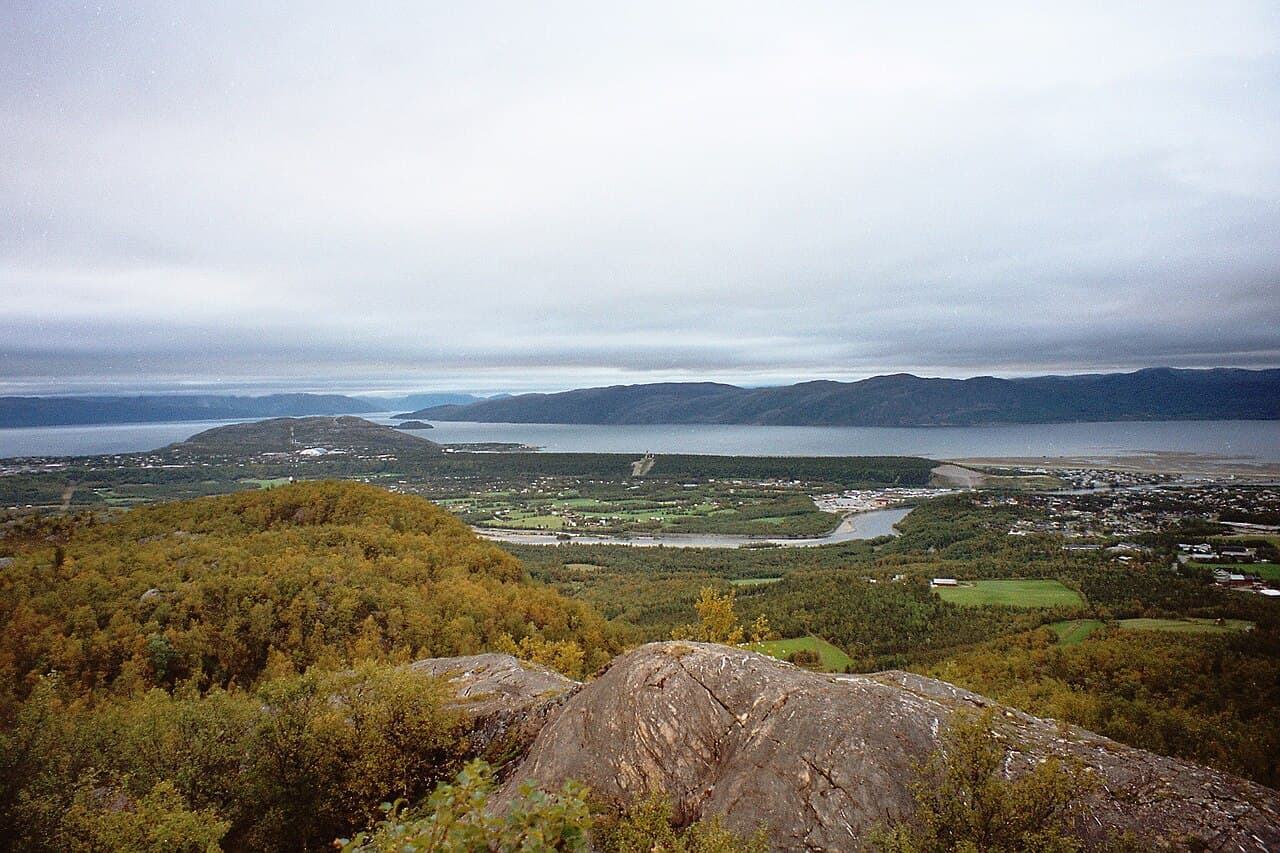
Photo : Vesna Vujicic-Lugassy (CC BY-SA 3.0 igo)
This chain of triangulation points stretches across ten countries in Eastern and Central Europe, including Belarus, and represents a remarkable scientific achievement of the 19th century. The Struve Geodetic Arc was established between 1816 and 1855 by the astronomer Friedrich Georg Wilhelm Struve to measure the precise shape and size of the Earth. The arc consists of a series of stone markers and observatories positioned at regular intervals along a meridian line extending from the Baltic coast to the Black Sea. The site demonstrates the advancement of geodetic science and international scientific cooperation during the early modern period. The physical remains include various types of monuments and markers, some well-preserved while others are less visible, scattered across the landscape of multiple nations. Its inscription recognizes the scientific and historical importance of this extensive measurement project that contributed significantly to the development of geographical knowledge.